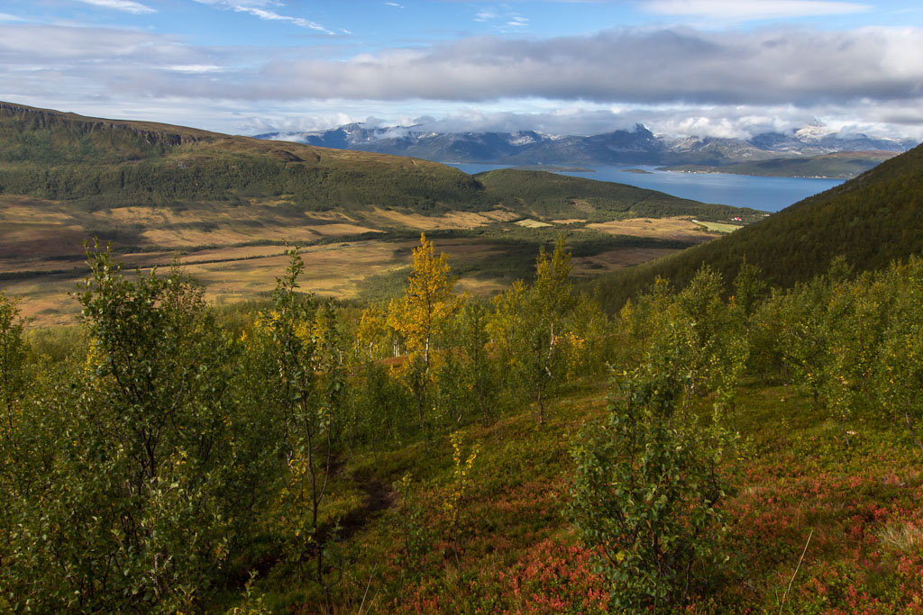
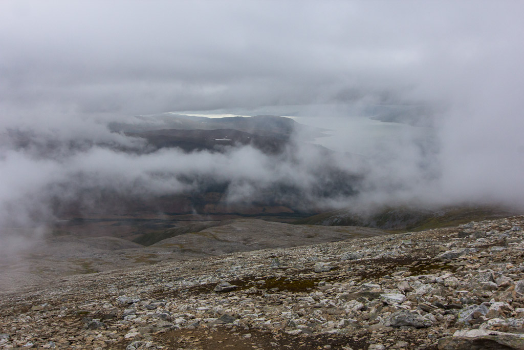
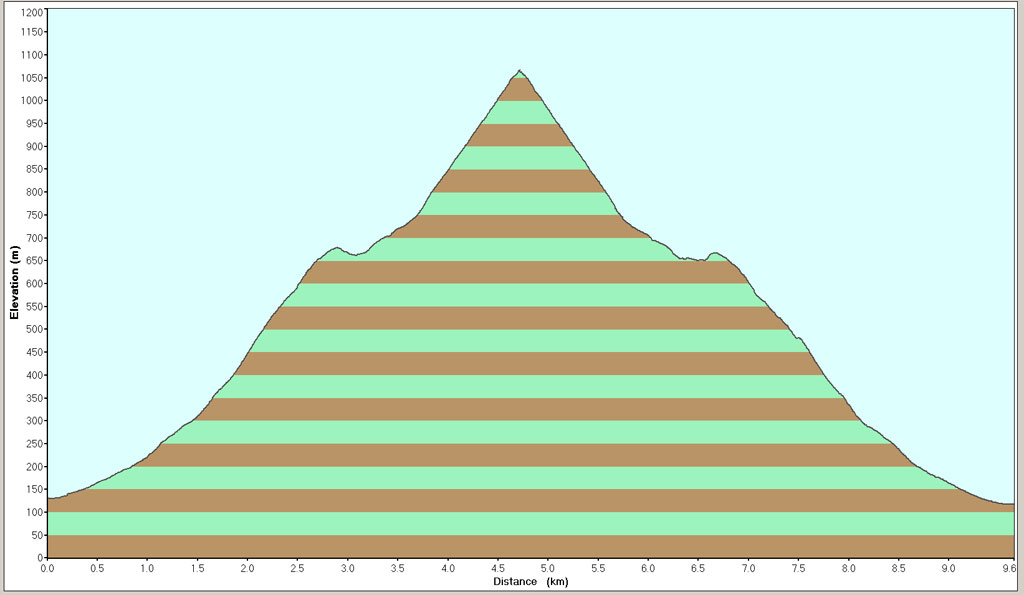
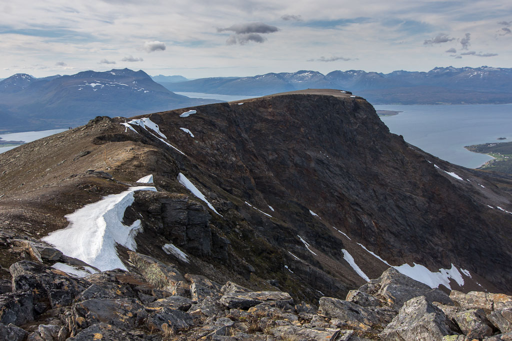
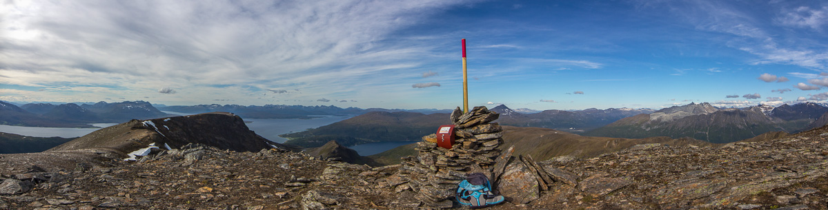
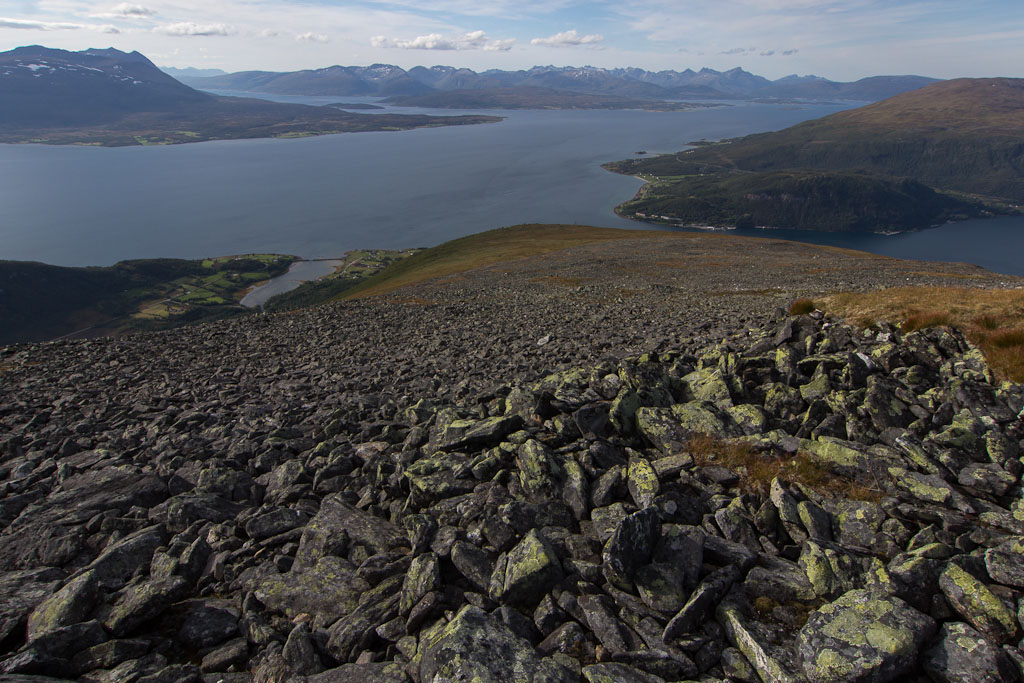
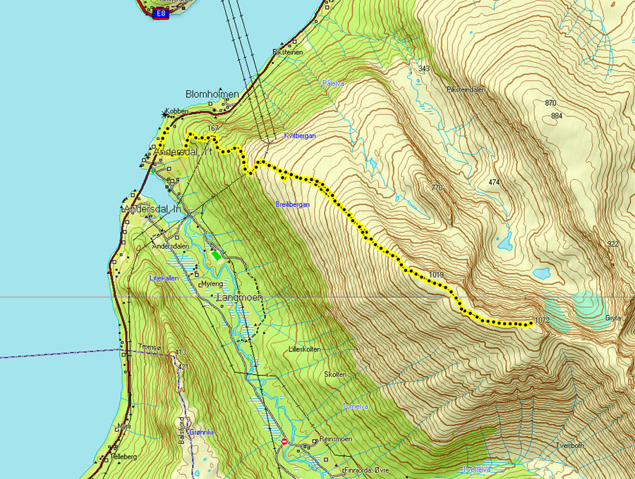
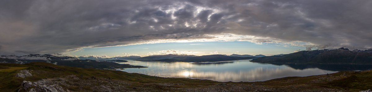
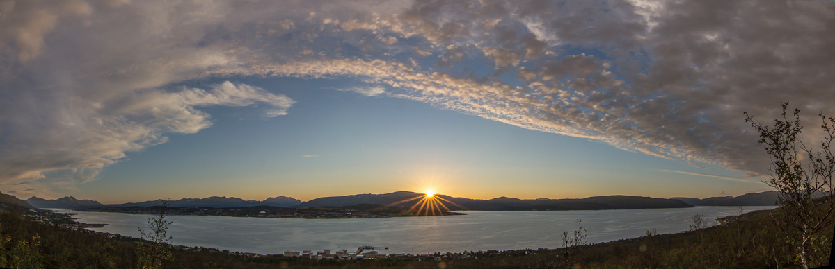
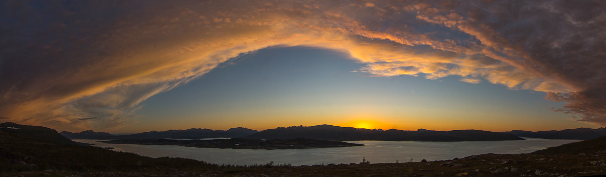
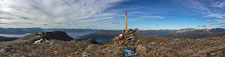
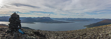
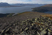
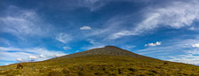
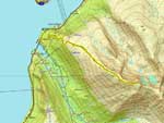
Last Thursday the weather was looking good, and I decided to climb Gorzelvtinden – my highest mountain so far this summer, at 1072 m. The route starts by climbing steeply up through a pretty forest. Above the treeline it flattens out a bit, but from 600 m it’s steep with loose rocks. You first reach Durmålsfjellet at 1020 m, and from there it’s about 2 km along an almost flat ridge to Gorzelvtinden. As soon as I reached the ridge, it was VERY windy. The kind of wind that takes your breath away and can actually get you out of balance – so I made sure to stay well away from the steep sides. I didn’t take many photos on my way up, so the first photos here are taken from the top 🙂 The first one is looking back along the ridge to Durmålsfjellet and the second shows a panorama of the view.
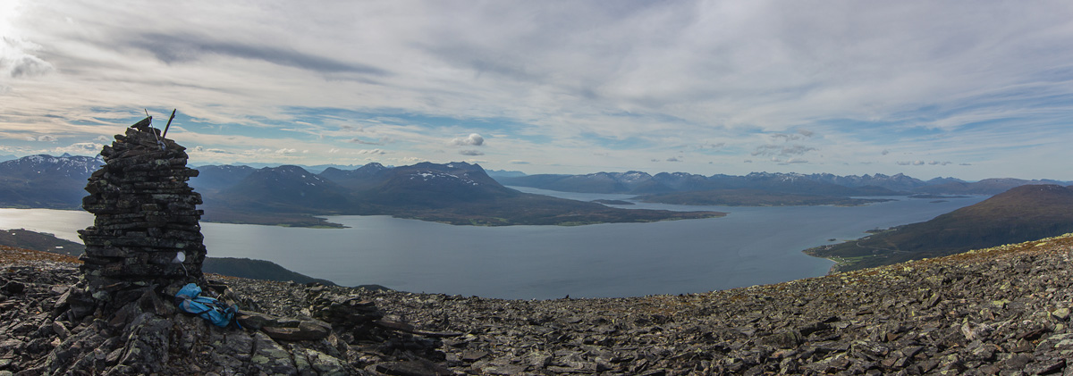
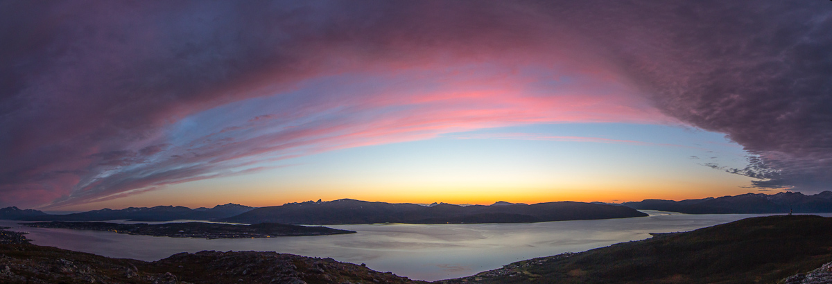
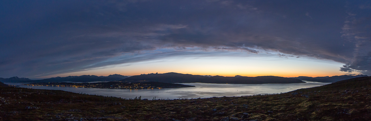
I only stayed at the top for about 5 minutes, as it was way to windy to even think about having a lunch break there. The views were spectacular though, this is a relatively new area for me and I really liked it. On both side of the mountains are some long valleys that would be worth visiting. I quickly made it back to Durmålsfjellet, where people had built an enormous sheltered bench, perfect for my lunch break! This must be the dominating wind direction on this mountain, as it was placed perfectly. It was strange to sit there comfortably while hearing the wind howling behind me. The wind was so noisy that my ears felt numb (like after a loud concert) when the sound finally fell away!
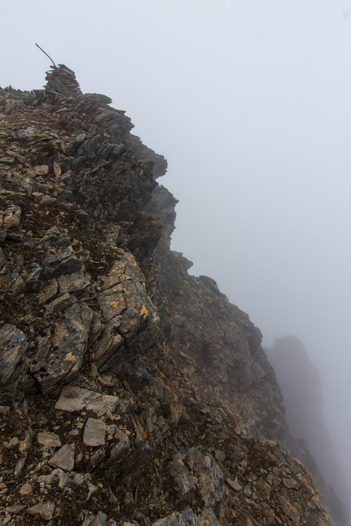
Going up a steep slope with loose rocks is one thing, coming down is much much worse. At least with all the mountain hiking I’ve done over the past weeks, my muscles have become a lot stronger and my knees don’t hurt anymore on slopes like this – but it’s still tiring as you have to concentrate on every single step and are constantly out of balance. I kept longing for the grassy slope at the bottom…
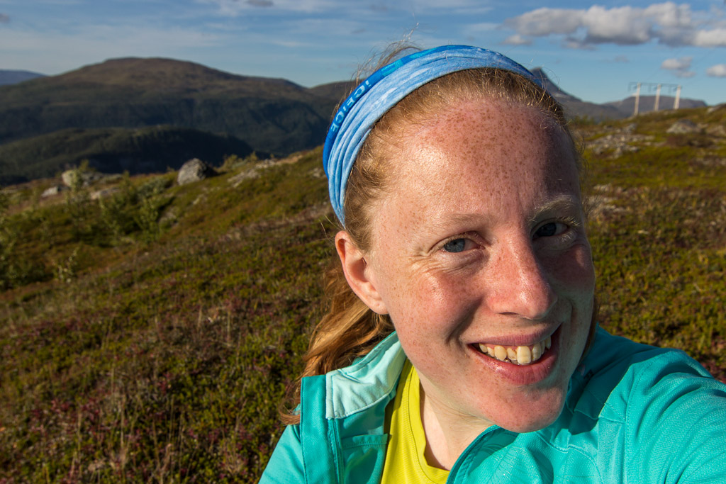
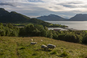
When I finally reached the grassy slopes, I met an older man who told me he did Bakaromntinden that morning and he was on his way to Gorzelvtinden now… Wow, some people! There was a group of horses in this area, and on Facebook I had read that some people had bad experiences with them. This time they were only interested in eating grass though 😉 so I took a few photos of them. I also tried to take a self portrait with Tromsdalstinden in the background, but I kept blocking the mountain with my own head 😀

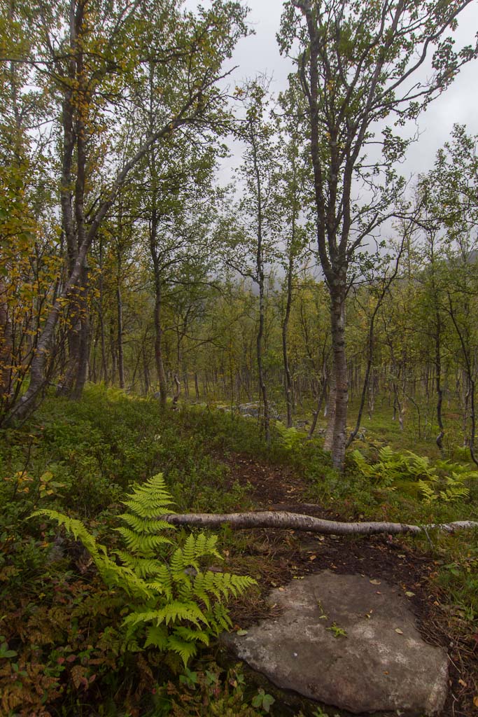
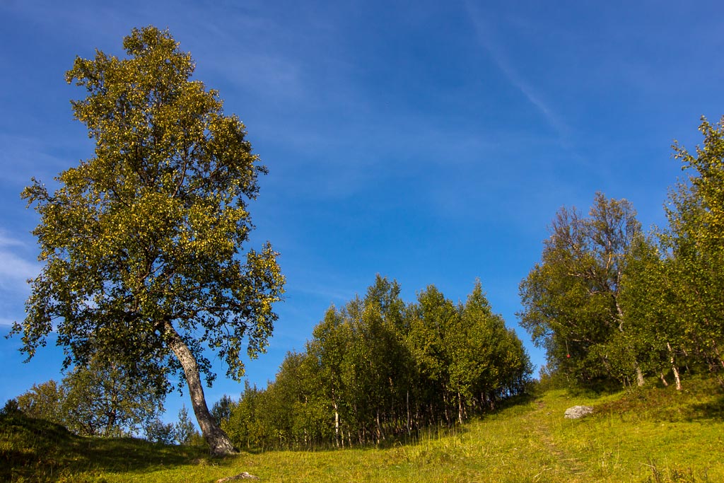
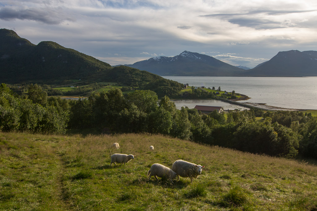
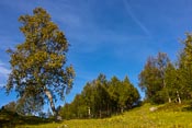
Coming down through the forest was really nice. And I met some sheep along the way 🙂
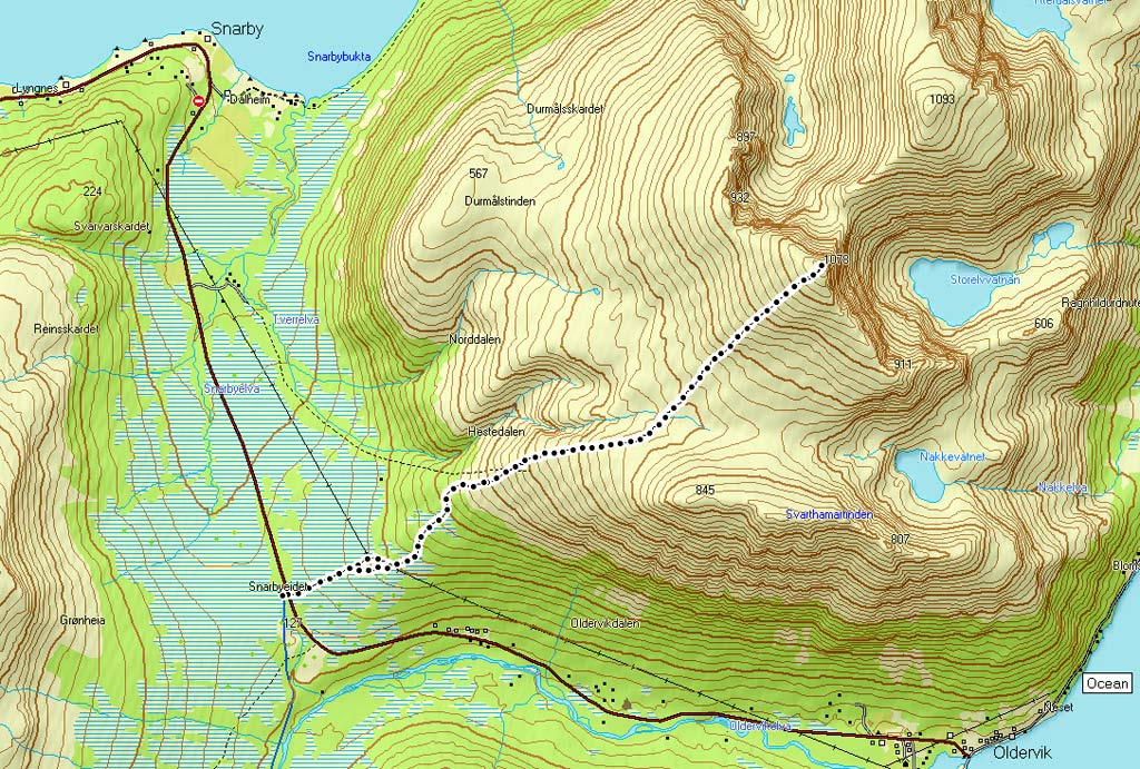
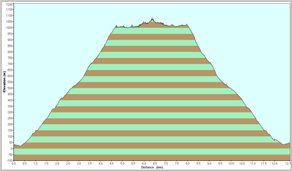
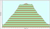
I took it really easy on my way down, and the total time was about 7 hours. It was a really nice trip, also because I met really nice people along the way 🙂 Some people I had met on Bakaromntinden before, others on Raudfjellet… so there were some friendly reunions. The couple who had been so kind to me on Bakaromntinden were worried about me being alone, and really kept an eye out for me. I was fine, but it’s nice to know that someone cares! Anyway, here is the map and height profile…
This was probably my last mountain for a while, as I had to come back to work. But if the weather is nice on the odd day off, I’ll be back! 😉