Browsed by
Category: Norway

Sessøytinden

Sessøytinden

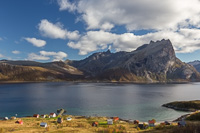
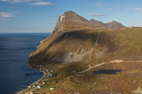
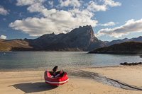
While climbing Skamtinden, we both commented how the peaks on Sessøya looked really fun to climb. Four days later, we both took a day off and we set off by boat from Ersfjordbotn to reach the beautiful beach on Sessøya. It took about 45 minutes by boat, and total door-to-beach time was only 2 hours!

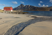
Drijfsijs on the beach at Sessøya A pretty stream on the beach on Sessøya

We had a quick look around the small village. I don’t think anyone lives here permanently anymore, but there are some really nice houses. We started climbing the slope behind the village, with some great views towards Rekvik and Skamtinden…

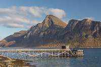
The jetty at Sessøya - slightly crooked and falling apart ;) The small village on Sessøya, with in the background a great view of Skamtinden, the mountain we climbed 4 days earlier!

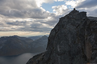
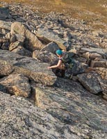
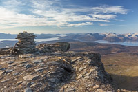
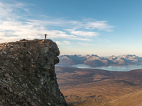
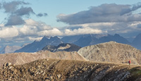
The going was slow, my muscles had not fully recovered from Skamtinden and I almost wanted to give up. The terrain was quite gentle though – only a couple of rocky parts. So we persevered (or rather, Paul made me :P) and we soon reached the first peak at 616 m. From there, a ridge goes to the highest point (Sessøytinden) at 657 m. The last part looked nearly impossibly vertical, with huge drops on one side. We could see the cairn though, and we knew other people had come this way, so we decided to see how far we’d get. In the end, it was some steep scrambling, but nowhere near as impossible as it looked. Two hours and 45 minutes after we started, we reached the top – and the views were really spectacular!

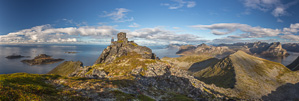
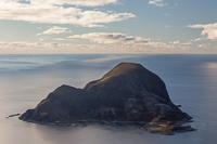
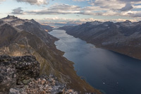
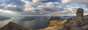
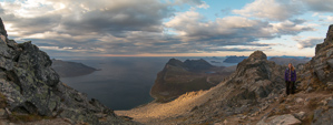
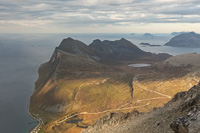
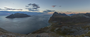
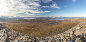
View from Sessøytinden towards Senja and Sommarøy on the right, and most of Kvaløya View in the opposite direction. The island on the left is called Bjørnøya and has quite a lot of houses on it

While on the top, my phone rang – it was Hannah, who was on the top of Bremnestinden at that moment and was wondering if we could see each other. We should have brought binoculars 😀

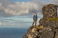
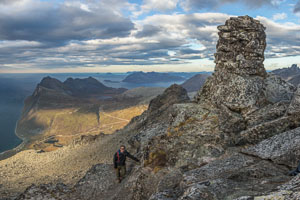
Håja seen from another unusual angle :) Paul next to the huge cairn, with Sørfugløya in the background

We ate our lunch on top and took lots and lots of photos 🙂

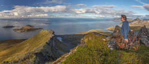
Enjoying the views - some crazy ridges on Sessøya!

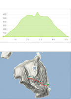
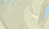
For those interested, here is a height profile and map of our hike…

Height profile and map of climbing Sessøytinden

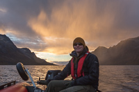
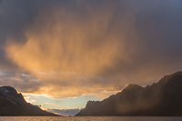
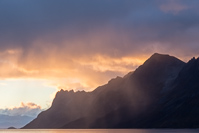
After our well deserved break we hurried back. I had a meeting that evening and our schedule was quite ambitious 😉 We took a shortcut on the way down, and we were back at the boat after about an hour and 15 minutes. We quickly got ready and started our way back to Ersfjordbotn. It had been sunny all day, but while in Ersfjorden, some rain showers appeared out of nowhere. Most of the rain didn’t reach the surface (a phenomenon called virgo), and as it was near sunset, the fall streaks were coloured a spectacular orange. So beautiful!

On the way back, it suddenly started to rain. Some of the rain never reached the ground, a phenomenon called virga - and the sunset coloured the streaks of rain some impressive colours What a view!

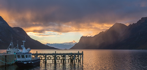
Back at Ersfjordbotn, I just had to take a couple more photos…

Fishing boats at Ersfjordbotn I couldn't get enough of the beautiful sunset light on the rain showers

We made it back home just in time for me to change clothes and run to my meeting 😀 I am glad we went though, it was a fantastic trip!
Skamtinden

Skamtinden

We had planned to go for a 5 day hiking trip starting on Friday, but as we were both very tired, and the weather forecast looked very wet – we decided to stay at home. We couldn’t resist making the most of a sunny Friday though, and we decided to go up Skamtinden (884 m). This mountain has been on my “wish list” for a long time, but it’s a long drive and a very steep climb. You go up the 884 m within 2 kilometres! The advantage of such a steep climb is that you’re soon rewarded with very nice views…
View over Rekvik Paul looking over towards the island of Sessøya. The island behind Sessøya is Håja - almost unrecognisable from this angle!

We reached the top after about 2.5 hours. The very last bit to the top is quite crazy, and you need your hands to climb up to the cairn, with steep drops all around. We made the mistake of first looking at the top from a different angle, where you can see a sheer drop going almost 900 m straight down to sea level, just next to the cairn… gulp 😉

View over Ersfjorden The sheer drop below the top cairn - crazy!

Fortunately you don’t see much of this as you approach the cairn from a different angle, and after some scrambling we soon enjoyed fantastic views 🙂

View from the top Paul on the final scramble to the top

I was a bit worried about coming down that bit, but it turned out to be fine. We were in good spirits when we started the way down…

A relieved smile - getting up was one thing, I was a bit worried about coming back ;) You can see all the way to Sandøya and Sørfugløya from here

… but we soon found out that it was exhausting to come down on the loose rock/gravel path. Luckily the sunset views were very nice 🙂

The walk down was exhausting, but the sunset views were nice :)

It took the same amount of time to come down as it did to go up… and we got back to the car pretty knackered. My muscles have been sore for 3 days now, but it was totally worth it 😀

Nonstinden

Nonstinden

Paul came back from sea last weekend, and after resting a bit, we decided to make the most of the forecasted sunny (and warm!) autumn weather. We drove to Tønsvik, and reached the cabin at Nonsbu after just over 2 hours, in cloudy but dry weather. It was Sunday night, and there was only one other guest in the cabin. The cabin has 2 parts, and plenty of space, so this wasn’t a problem 🙂

On Monday morning we woke up to sunshine 🙂 We took our time to get ready, and chatted to the lady who stayed in the other part of the cabin. Around noon, we finally left to climb Nonstinden, a 1113 m high peak.

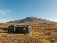
Nonsbu in autumn sun, Nonstinden is the mountain in the background A group of reindeer ran past

On the map, it was indicated that you could reach the top by two different routes, and that you could make it into a round-trip. I love round-trips 😉 so we decided to follow the path to Trollvasbu to begin with, then turn onto the steep ridge from the north, and come back on the gentler slope towards the south.

This map shows our roundtrip: up on the steep ridge from the north, down on the gentler slope towards the south

It took quite some time to reach the bottom of the ridge, mainly because we had to cross two rivers. I’m NOT a fan of river crossings, and I forgot to bring sandals so I had to go barefoot. Anyway, when we reached the ridge we soon found out just how rocky it was…

On the rocky ridge - this gets very tiring! Beautiful views towards Ringvassøya

It took 4 hours to reach the top, and we were pretty exhausted by that time. Luckily, when you get to a height of 900 m, it flattens out a lot and there are only small rocks – so you can finally walk normally, without having to use your hands 😉

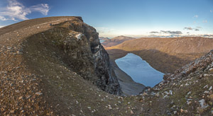
After 4 hours: the top!! With some spectacular drops along the ridge

It was VERY windy on the top, so we didn’t hang around for very long.

Paul followed the ridge a bit further It was very windy on the top ;)

The views were fantastic in all directions, so we did take a lot of photos 🙂

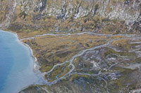
A panorama of the panorama photographer in action :D The river delta far below

To our relief, the way down was a lot gentler, AND the surface basically was moss with small rocks. So much easier! If I ever was to go up Nonstinden again, I wouldn’t bother with the rocky ridge and just take the same (gentle) route up and down.

Paul on the ridge The way down was a LOT gentler. Time for another sandwich :)

After reaching the bottom of the valley, we still had a long way to get to Nonsbu – and the same two rivers to cross. Luckily, one of them could be crossed by jumping from boulder to boulder, which saves a lot of hassle 🙂

At this river crossing we could luckily jump across without taking our shoes off Paul in the last evening light

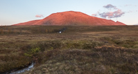
Nonstinden turned into Ayers Rock in the last light of the day 🙂 We finally reached Nonsbu at 19:00, 7 hours (and about 14 km) after we started our hike.

Nonstinden turned into Ayers Rock! Back at Nonsbu, 7 hours after we started...

We were pretty knackered by this point – I had also been struggling with a beginning cold which of course didn’t improve by hiking up a mountain 😉 I was almost tempted to spend another night at Nonsbu, but after a cup of tea and some chocolate, we decided to hike back to Tønsvik while there was still some light left. After a brief uphill to begin with, the route was mostly downhill and it took us only one hour and 45 minutes to hike the 7.5 km back to the car. Phew, we made it – tired but happy we drove back home and were able to sleep in our own bed that night 🙂