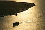
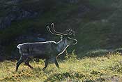
Last weekend was Paul’s birthday and we decided to go for a camping trip to Rebbenesøya, an island to the northwest of Tromsø. It’s quite a drive, the ferry goes from Mikkelvik which is about 90 km from Tromsø. We took the last ferry on a Friday night, which is a very popular one. Some cars turned up too late and didn’t fit on the ferry! The crossing only takes 15 minutes. The first thing we saw on the island was a group of reindeer backlit by the sun… beautiful!
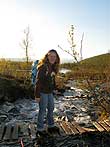
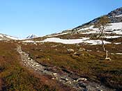
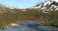
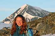
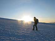
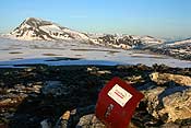
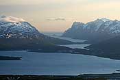
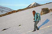
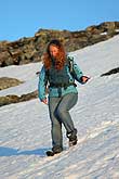
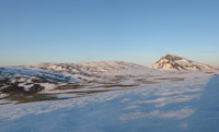
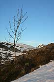
Our reason for going here was a beach surrounded by mountains, and according to the map there was an “unmarked path” to get there. We thought it would be beautiful to spend the night there. We started hiking quite late, but with the midnight sun that doesn’t really matter. The mountains we had to cross to get to the beach looked quite scary, but we thought there would be a way to cross, as it was indicated on the map. Of course the path was nowhere to be found, but we have learnt from previous experiences that “unmarked path” can mean anything here, so that didn’t surprise us. Here are some of the views on the way up:
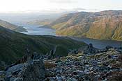

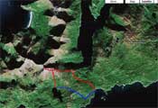
After about three hours of walking, we were in front of the mountains we had to cross. *gulp* They looked way too steep to cross, to me it looked like you would need a rope and climbing gear! As we could still see no trace of this path, and we had no idea what it would be like on the other side of the mountain, we decided to abandon our plan. Here is a map of our hike, in red for the first day and in blue for the second day. The beach on the top left corner is the one we tried to reach…
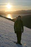
It was a bit disappointing that we weren’t going to make our destination but instead, we did go up one of the nearby peaks. It was only about 600 m high, but we crawled around on hands and feet on the top – there were some steep drops! The top was bathing in sunlight which was very pretty.
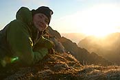

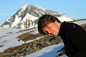
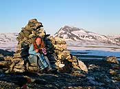
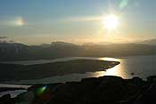
The photo on the left (below) is a puzzle… enlarge it and try to find Paul! The other one shows the view we had from the top – spectacular!
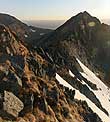

This photo is taken on the way down. It was quite tough going, with lots of loose rocks.
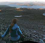
We decided to walk down to the lake we could see, as we thought that would be a good place to put up the tent. We had one last adventure climbing down a steep slope which was covered in trees – not easy! We were quite tired by then, and we put the tent up at the first flat-ish bit we could find – never mind it was a bog 😉 The weather had been great, and the forecast promised more sunny weather, but we woke up to rain and very grey skies!
While we took the tent down, the sun started coming out again though, we were very lucky. The panorama shows the area we were in – on the left the lake that we camped next to, and the sharp peak in the middle is the one we climbed.
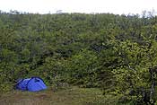

It didn’t take very long to get back to the road, which we followed for a bit until we were back at the car. This was the view from our parking place:
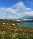
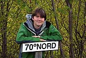
We were in no rush and were planning to take the last ferry back that evening, so we drove around the island for a bit. Someone had put up a 70 degrees North sign, very nice! I just read on the island’s website that this is the only place in Troms county where you can cross this line by car… which is just because further east it crosses through Karlsoy county instead – but hey, let’s not spoil the fun 😉
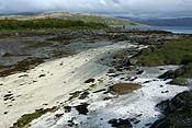
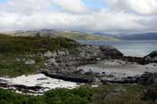
There are lots of nice beaches on the island! Some are really white, and the sea is a very pretty colour of blue – you can almost imagine to be in a more tropical location!
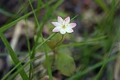
We walked around for a while, and took lots of photos. Summer is in full swing now, and there are flowers everywhere.
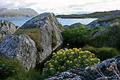
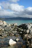
In the panoramic image below you can see another (much smaller) island with a farm on it.
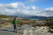

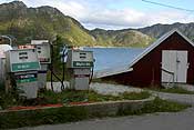
At the end of the road there is a small shop, with an abandoned looking petrol station. The shop was one of those everything-in-one shops including a post office, but it was closed when we were there.
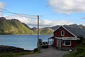
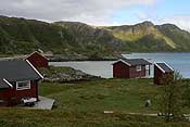
The island only has about 60 permanent residents, who mostly work in the fishing industry. There are more than 80 holiday cabins though! That’s why the last ferry on Friday night is so busy, lots of people coming to the island to spend the weekend in their cabin. In the photo below you can see some of these cabins.
We took the last ferry back on Saturday evening, and we were the only passengers on it! By that time it had also started to rain so it was a good time to leave. It was a really nice mini trip! For me it was the first time to hike&camp; and I really enjoyed it.
It’s a very busy time for both of us, so we haven’t been out much. I do have some photos of another ti-pa-topp hike we did, I hope to upload them so
on. But with moving house (on Monday) and a thesis to finish, it might take a while!
