Breitinden (Ringvassøya)
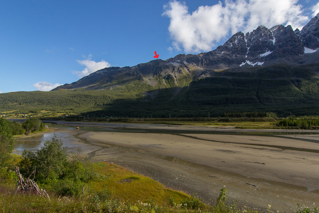
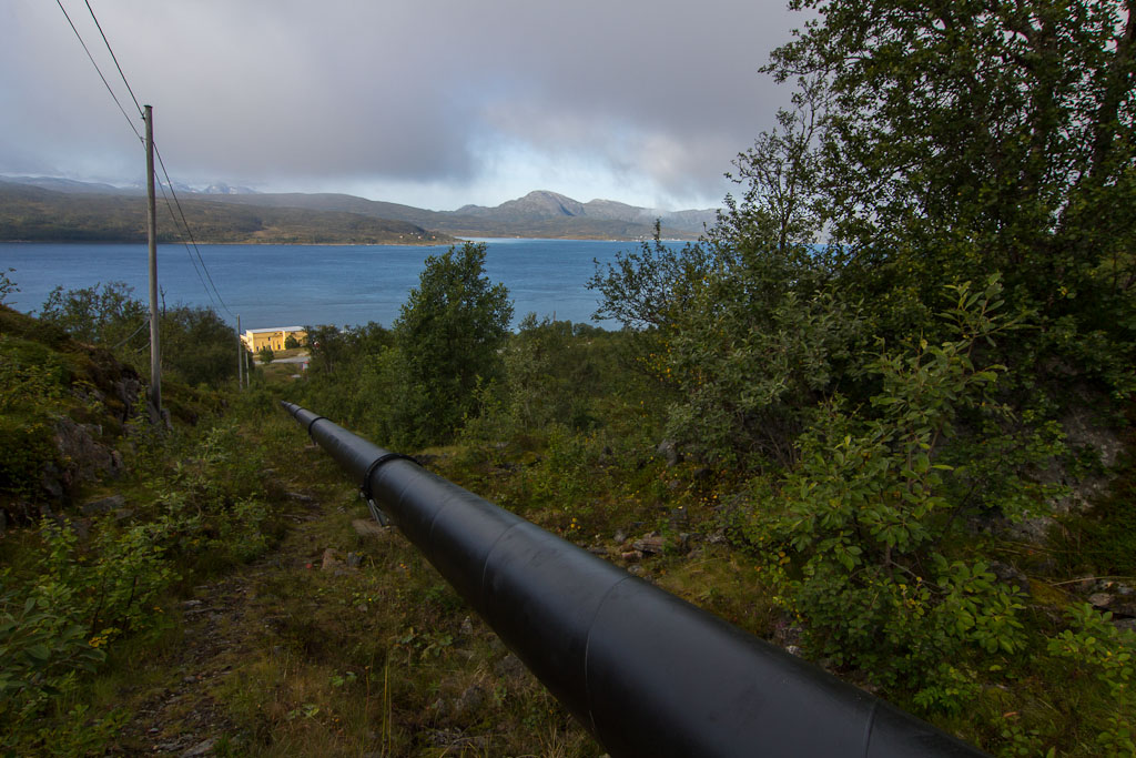
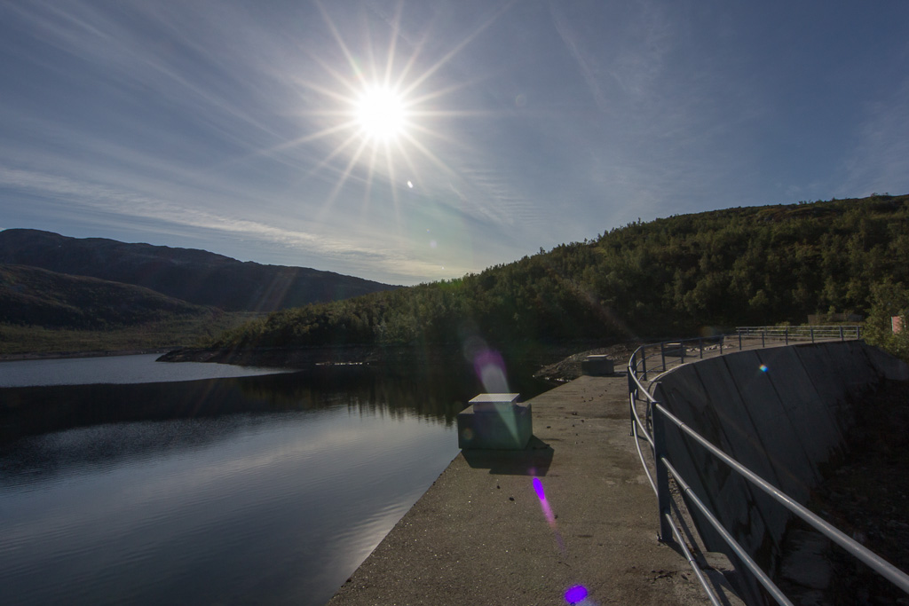
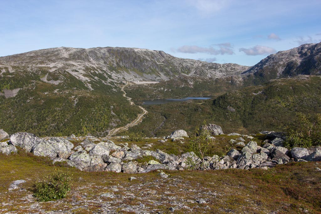
Last Tuesday I set out to climb Breitinden on Ringvassøya. This mountain is not in Ti på Topp, it was one of the mountains they lacked photos of for the new hiking book that’s coming out this autumn. Armed with a map and brief directions, I followed a pipeline up to Damnvatnet, one of the lakes that provide drinking water for Tromsø.
It wasn’t far to the lake, and you can actually walk over the dam, which was fun 🙂
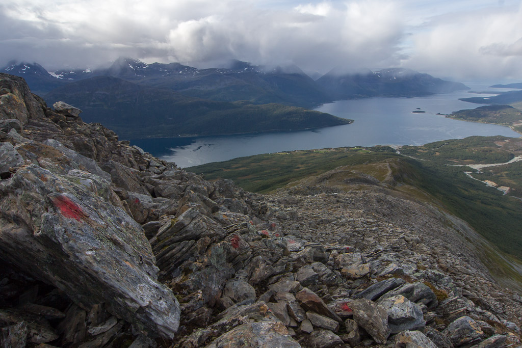
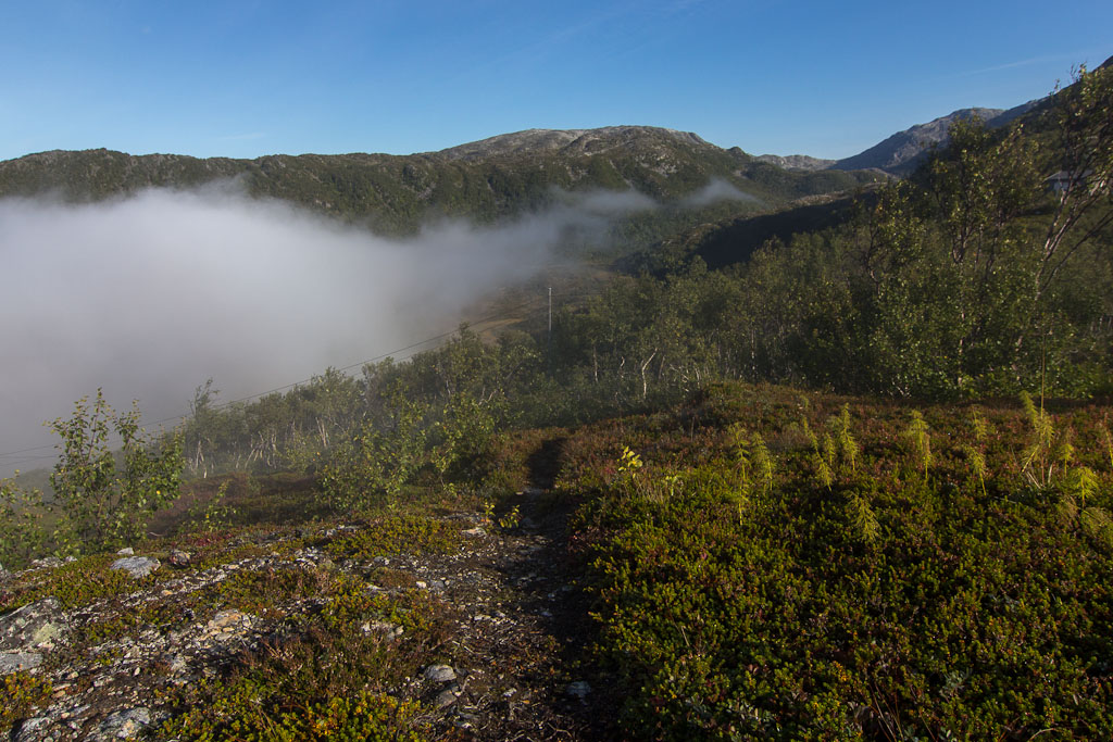
From here on, there was a faint path up the ridge towards Breitinden, but I kept losing it and in the end just made my own way up. It was quite clear which direction I had to follow, but it wasn’t always easy to find the best route. I often tried to avoid climbing every little hill on the ridge, but that didn’t always work well 😀 It made me appreciate Ti på Topp even more, though I am slightly embarrassed to admit that 😉 It’s just so much easier when there is a path and/or markers to follow!
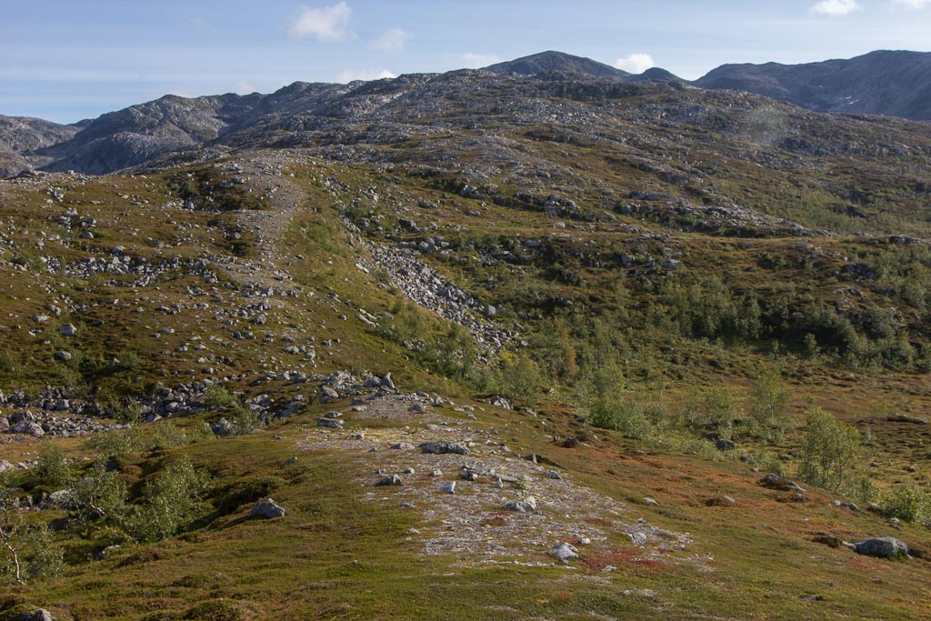
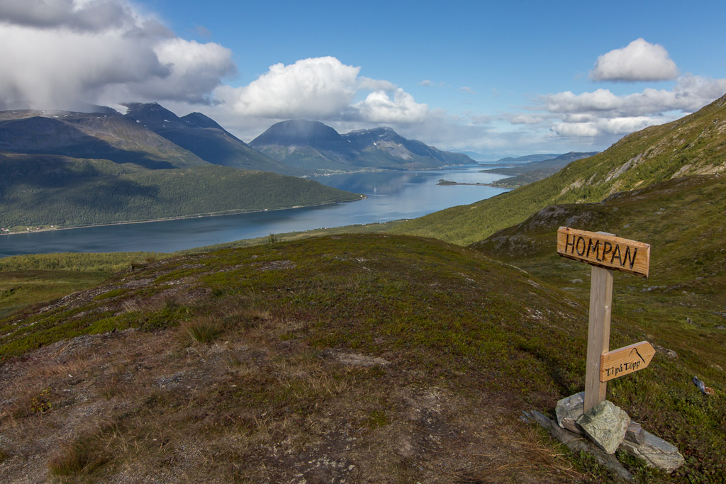
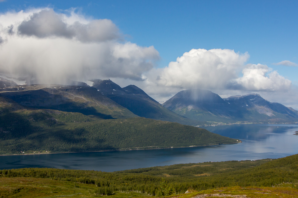
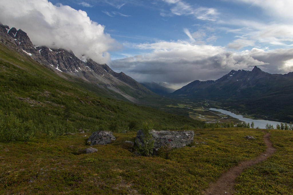
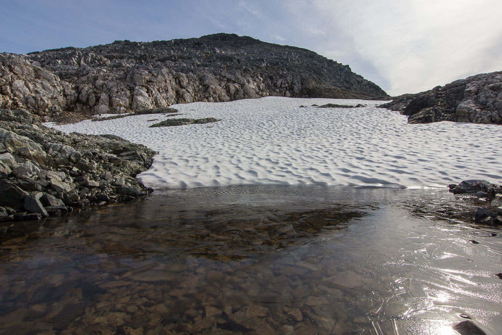
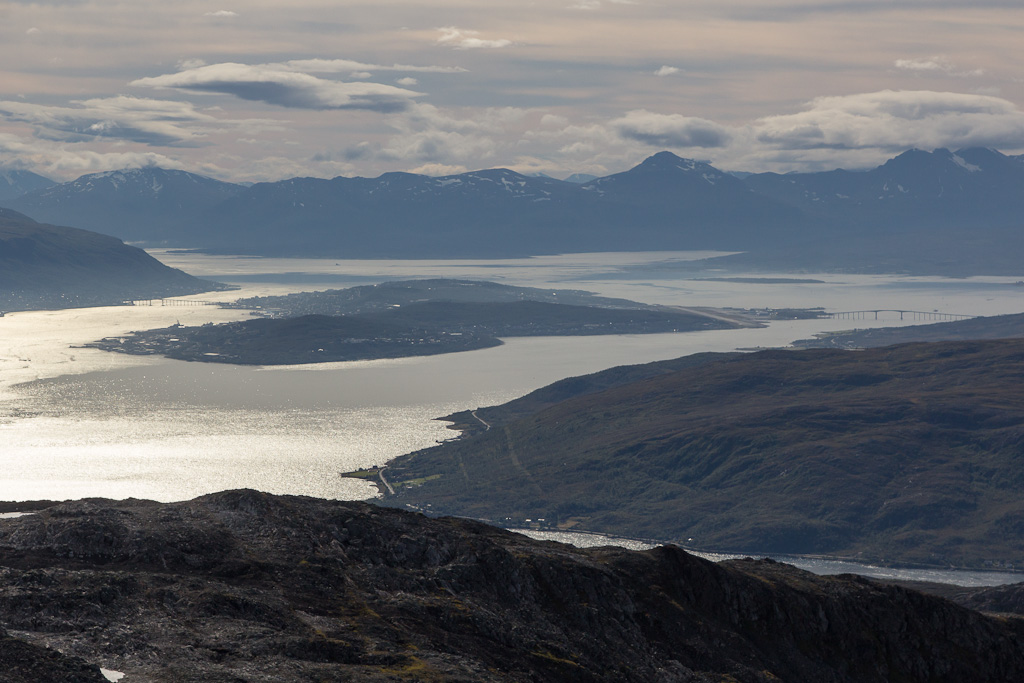
There were nice views towards the valley that leads to Ringvassbu. Higher up, I came across some large patches of snow – and there was ice on the melt ponds!
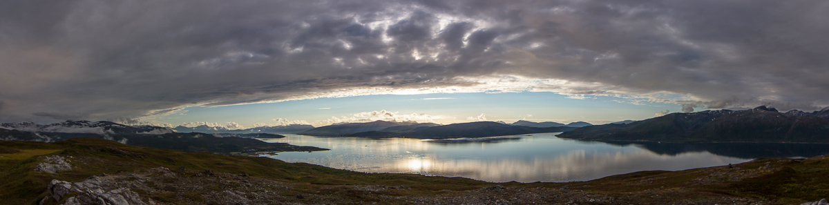
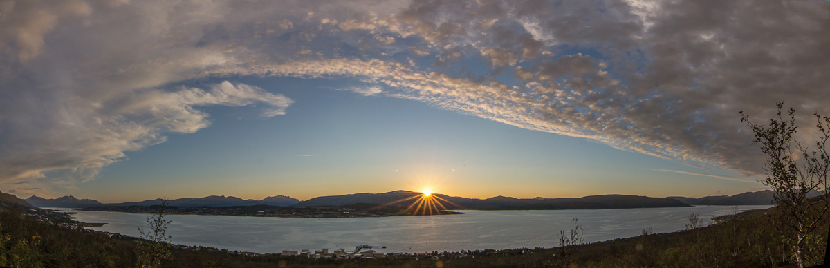
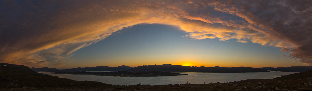
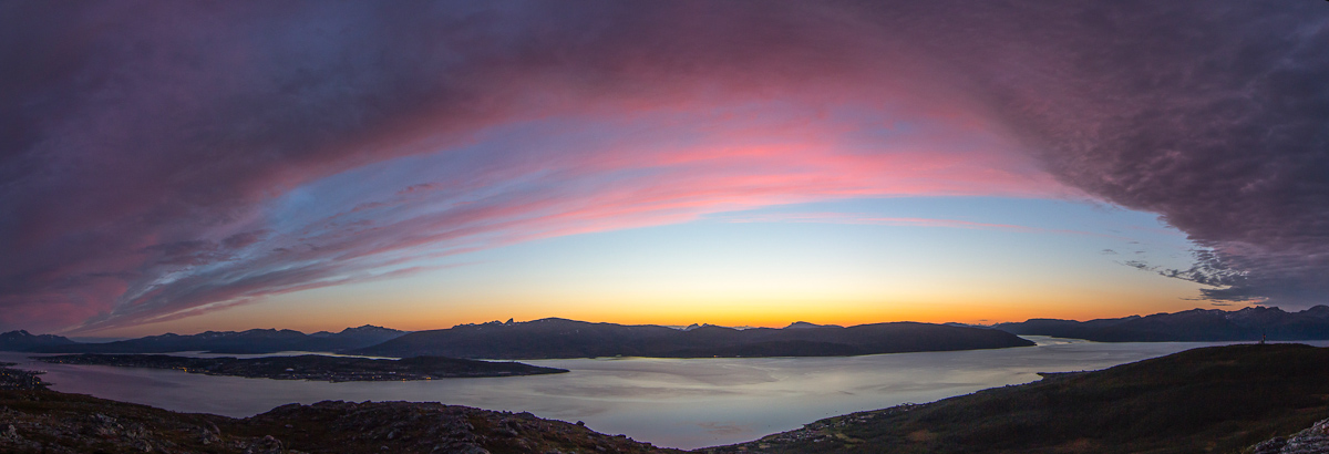
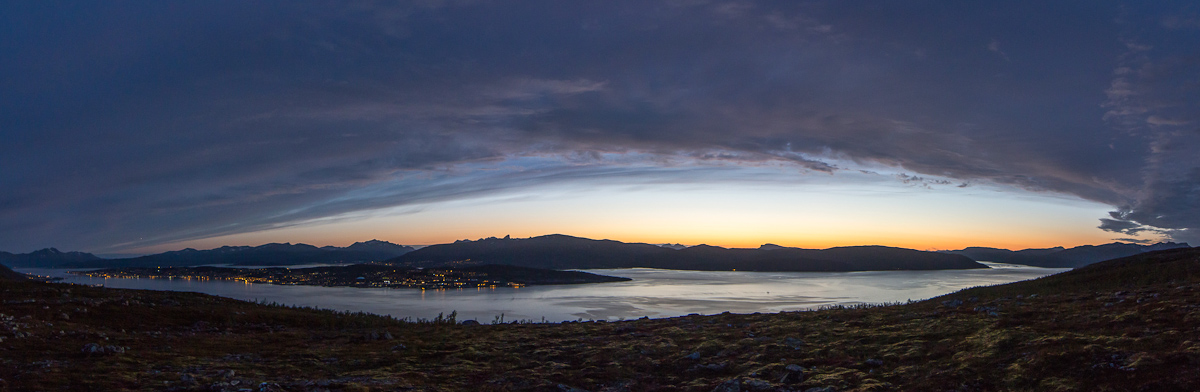
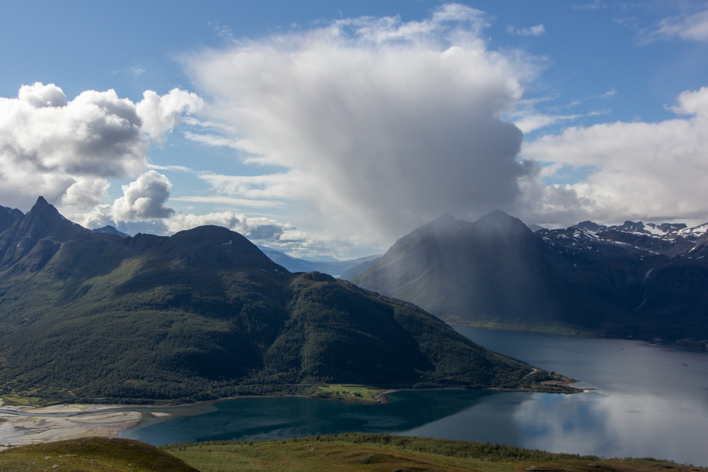
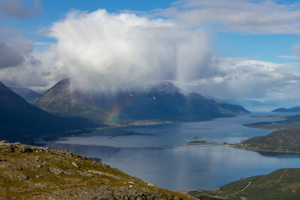
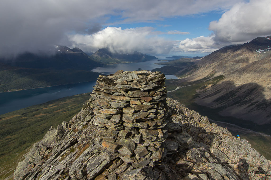
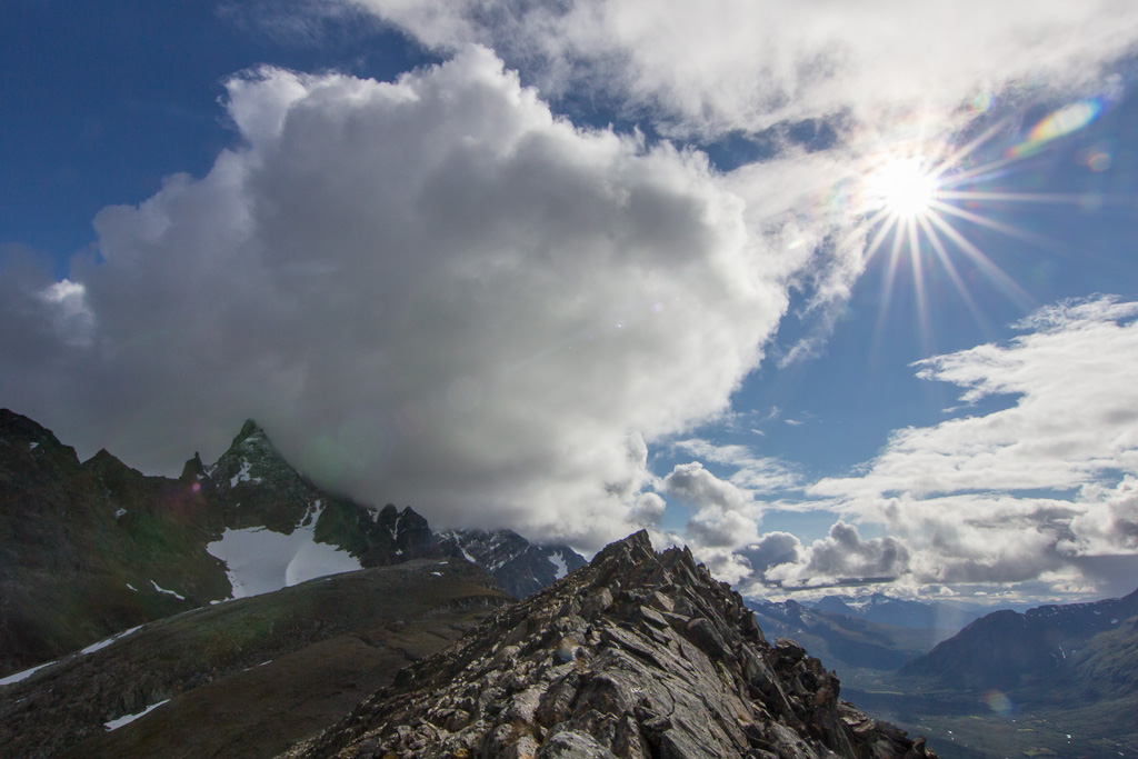
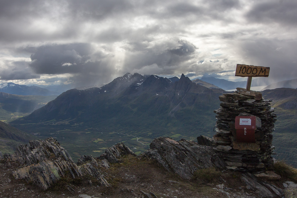
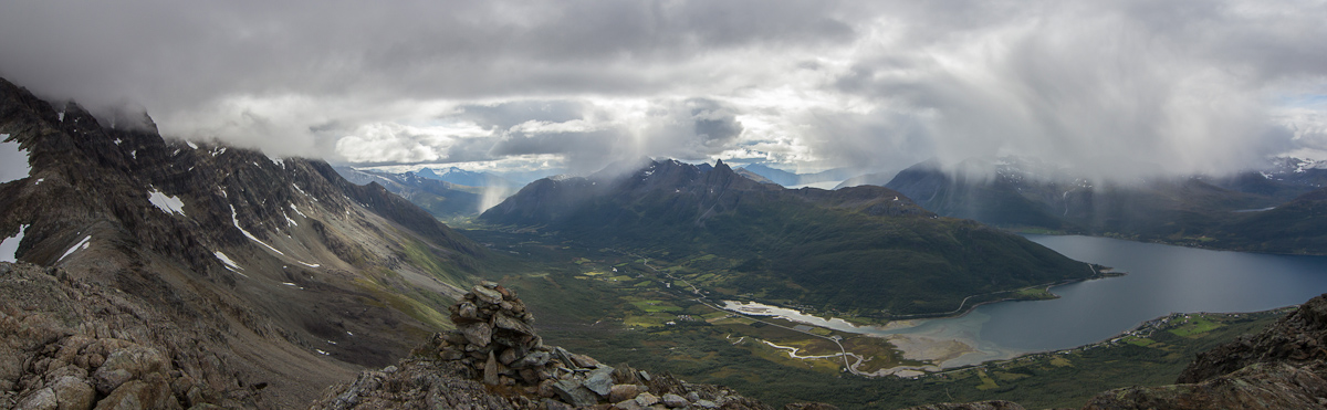
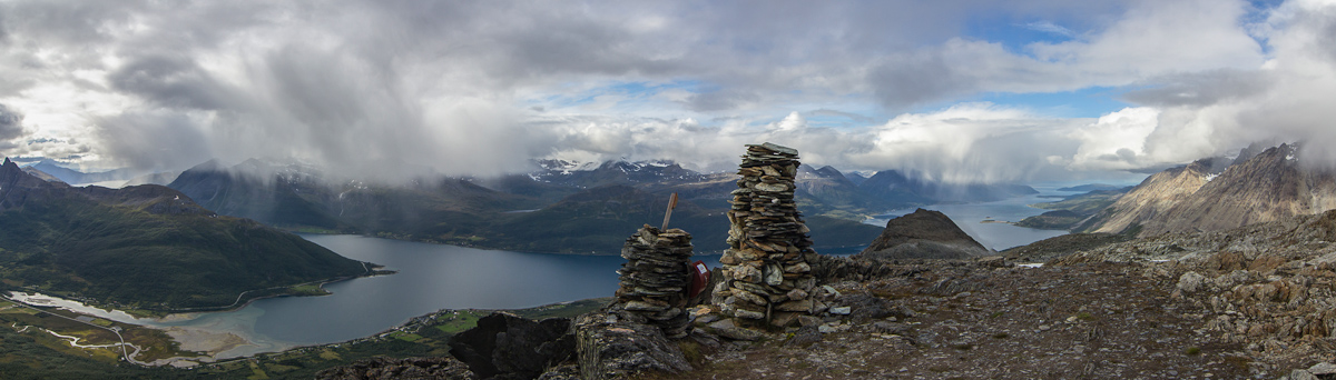
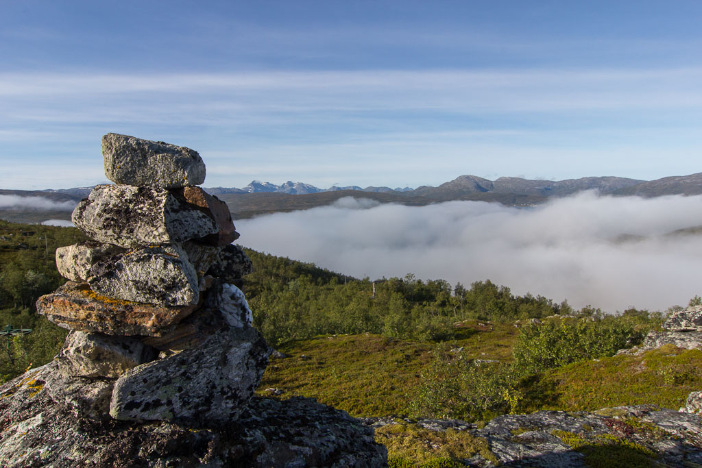
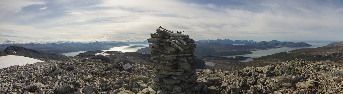
There was some steep climbing on loose rocks just before the top, but I made it 😀 It took me almost 4 hours to rech the top, and the view was spectacular. Unfortunately the light was very flat though, so they photos didn’t turn out that well. There was a guestbook on top: the last entry was dated August 2009… would I really be the first visitor in 3 years? I suspect this top is more popular in winter, when the book might be inaccessible due to snow.
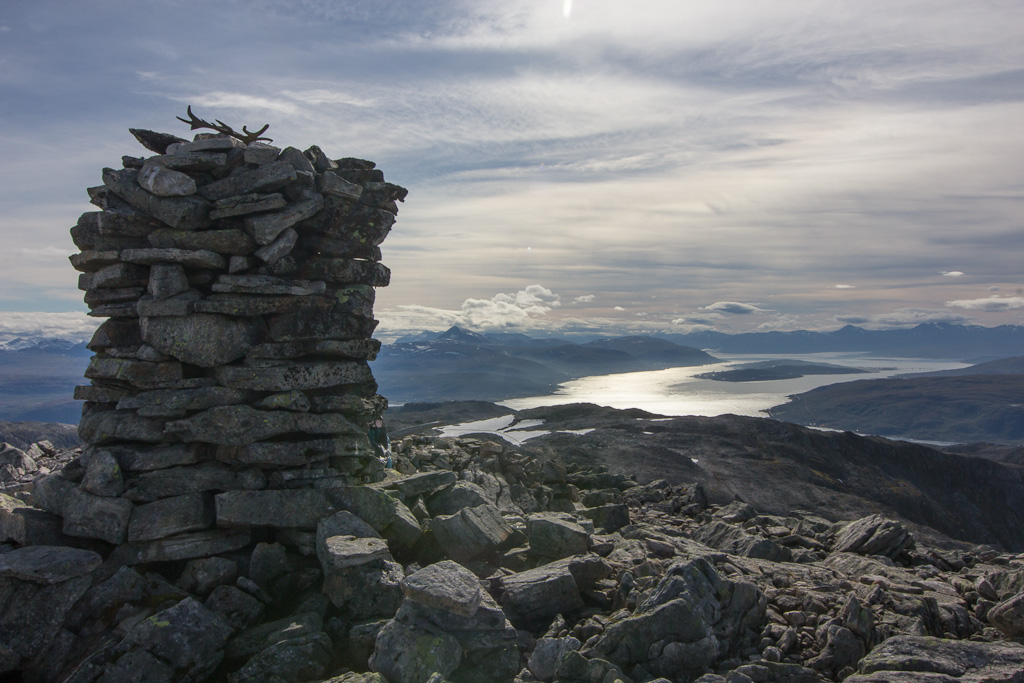
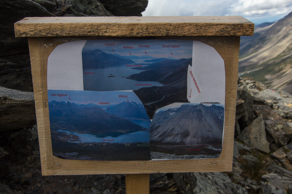
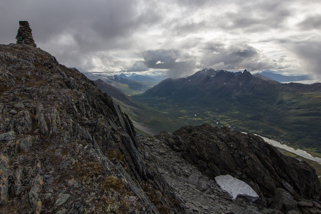
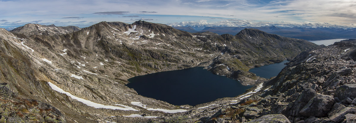
Most people who signed the book were on their way to Skulgamtinden along the ridge that you can see in the second panorama below. Didn’t look very inviting to me!
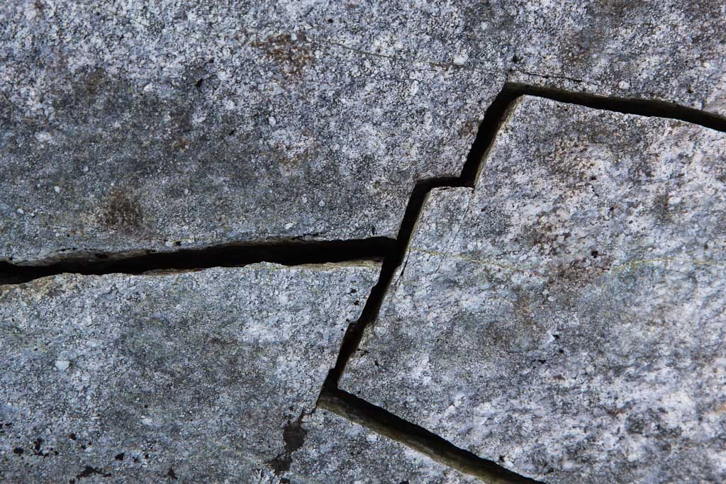
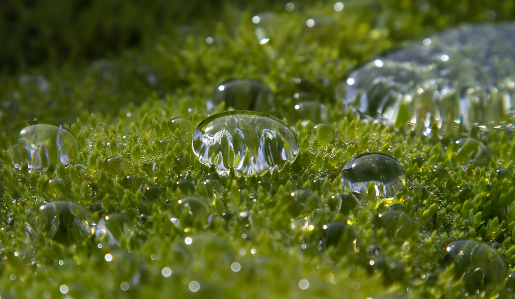
After a nice break, I started my way down. I took some photos of cracked rocks, and this amazing “goretex” moss that I found several places. It seemed almost watertight, with big drops lying on the surface – if you’d push the drops with your fingers, they’d just roll away like marbles! Amazing 🙂
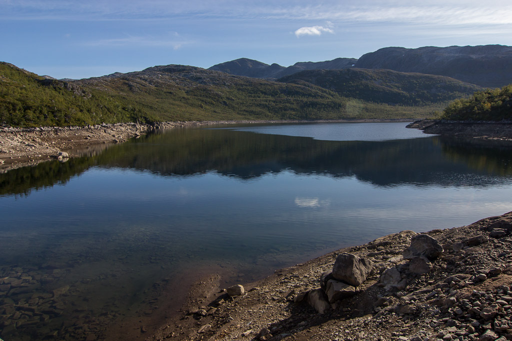
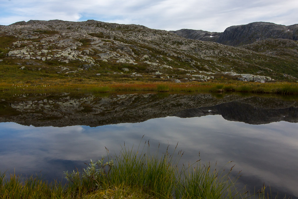
To my relief I found a much better route coming down, and even a faint path at times! I stopped to take some photos of this tiny reflecting lake, just above Damnvatnet. It really starts to look autumnal now…

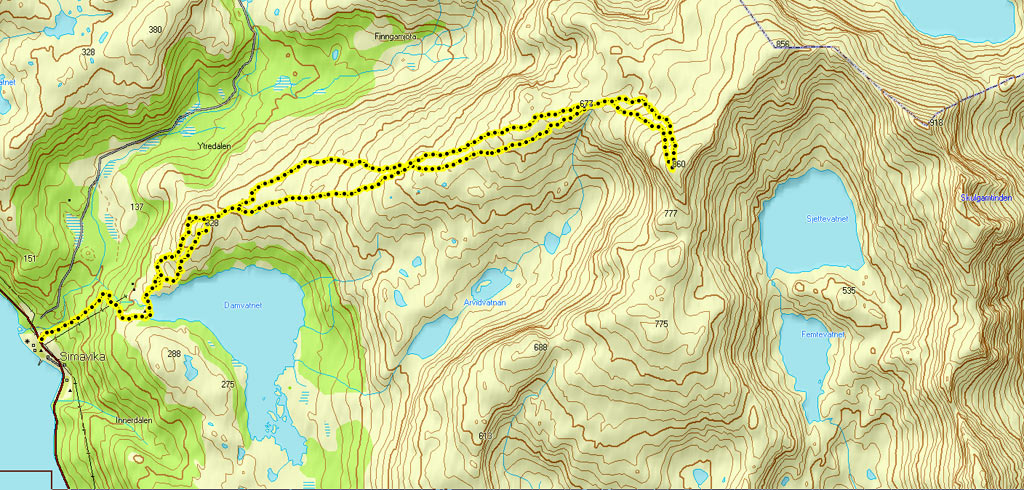
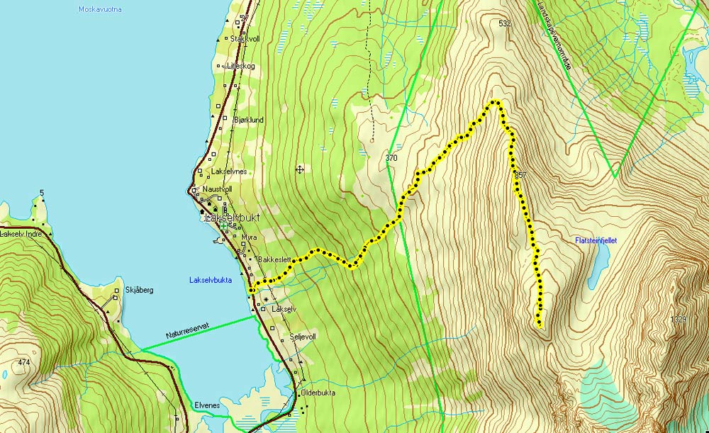
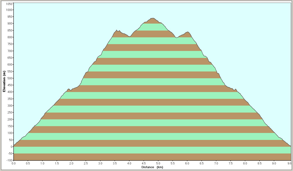
Here is the map and the height profile of my hike… Total time, including breaks, was 7 hours.